
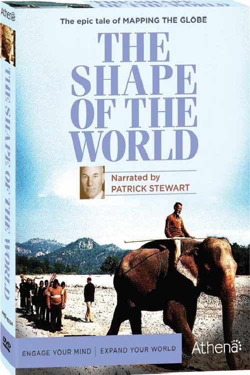
Pictures of the Invisible
Free on SceneLog — log in or create an account to track it.
Overview
The aerial camera helps mapmaking. In the twentieth century, surveying aids the search for oil and gold, radar maps the Brazilian rainforest, Monaco charts the undersea world, satellites map the Earth from space, and three-dimensional computer maps take shape.

Comments
Be the first to comment.
Leave a comment
Your email won't be published. Comments are reviewed before they appear.