
Power: The D-Day Invasion Maps
Free on SceneLog — log in or create an account to track it.
Overview
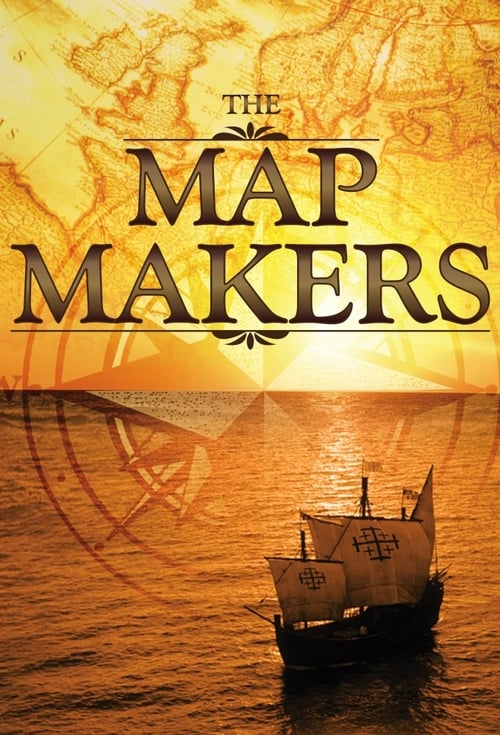
The last episode focuses on a time in history when thousands of men and women risked their lives to create a set of top secret invasion maps during World War II. Allied service men and women worked alongside French Resistance members in covert operations to create a 'living map' of the Normandy coast. The resulting invasion maps were the most extensive ever to have been created, combining aerial photography and intelligence information. The invasion maps were critical to the success of the D-Day landings, and ultimately the defeat of Hitler's regime.
Comments
Be the first to comment.
Leave a comment
Your email won't be published. Comments are reviewed before they appear.