
Atlas Maps - Thinking Big
Free on SceneLog — log in or create an account to track it.
Overview
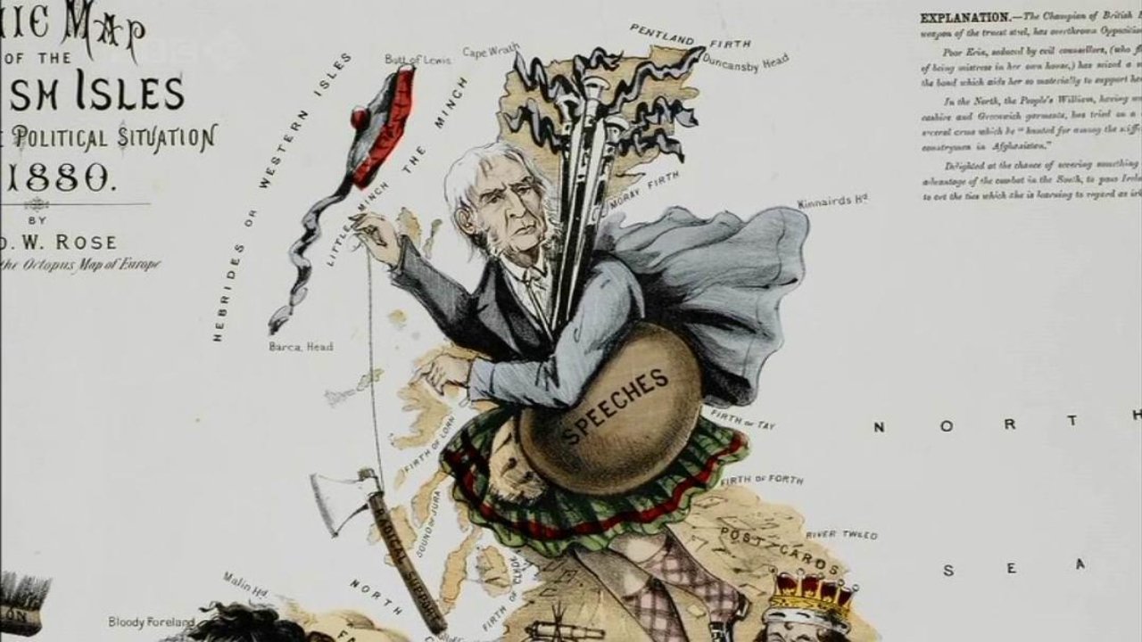
Paul Barber of the British Library discusses the golden age of Dutch cartography and examines the importance of atlases to the commercial endeavours of the 17th century. As maps became a means of expressing power, wealth and control, they became increasingly elaborate and artistic - and the documentary visits the world's largest atlas, a 24-volume example covering just the Netherlands, and the Klencke Atlas, made for Charles II's restoration in 1660.

Comments
Be the first to comment.
Leave a comment
Your email won't be published. Comments are reviewed before they appear.