
William Mudge's Ordnance Survey, 1st Edition, (1809)
Free on SceneLog — log in or create an account to track it.
Overview
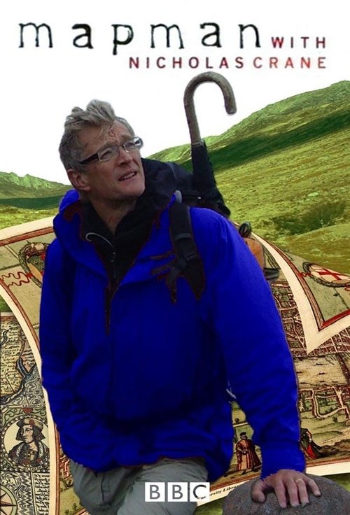
Nicholas Crane examines the first Ordnance Survey map. The epic task of plotting out an entire nation to a scale of one inch to one mile fell to Lieutenant William Mudge, who began the project in Kent and Essex before moving on to Devon - the most likely targets for French attack during the Napoleonic era.
Comments
Be the first to comment.
Leave a comment
Your email won't be published. Comments are reviewed before they appear.