
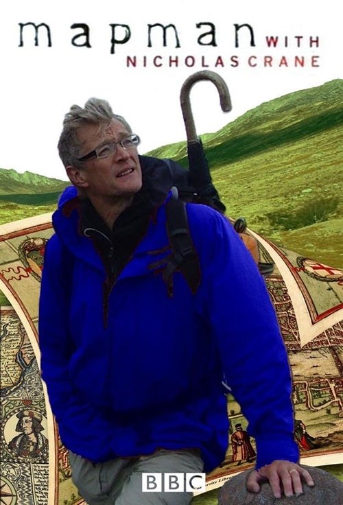
MacKenzie's Chart of the Orkney Islands (1748)
Free on SceneLog — log in or create an account to track it.
Overview
Nicholas Crane harks back to the 1740s to follow in the footsteps of Murdoch Mackenzie, an Orkney schoolmaster who mapped the treacherous waters between the north coast of mainland Scotland and the islands. Crane uses Mackenzie's original methods for setting up baselines on land and frozen lochs.
Comments
Be the first to comment.
Leave a comment
Your email won't be published. Comments are reviewed before they appear.