
Christopher Saxton’s Atlas of England & Wales (1577)
Free on SceneLog — log in or create an account to track it.
Overview
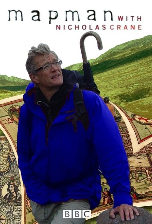
In just five summers, Saxton produced the first national atlas, providing Elizabethans with thirty-four beautifully engraved, hand-coloured county maps. But maps are created for all sorts of reasons and as he motorbikes across Norfolk (Saxton's first map), Nick discovers that Saxton's survey was as much about identifying possible political troublespots as rivers and windmills. Nick comes up with fascinating evidence that Norfolk was the heartland of Catholic conspiracy-making in the late 1500s. He also tries to solve the puzzle of Saxton's amazing omission from his Norfolk map: the Norfolk Broads.
Comments
Be the first to comment.
Leave a comment
Your email won't be published. Comments are reviewed before they appear.