
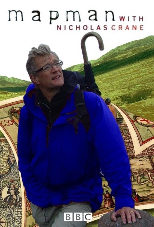
The Gough Map (1360s)
Free on SceneLog — log in or create an account to track it.
Overview
Created in the time of Geoffrey Chaucer, the 14th-century Gough map of Britain was a landmark in map-making and was still in use 200 years after it was drawn. But what do the red lines signify along the coast, and why is there a massive green wilderness dominating the centre of Wales? While exploring these mysteries, Nicholas Crane attempts to use the map to find his way on foot from Snowdon to St David's.
Comments
Be the first to comment.
Leave a comment
Your email won't be published. Comments are reviewed before they appear.