
Climate Monitoring Satellites
Free on SceneLog — log in or create an account to track it.
Overview
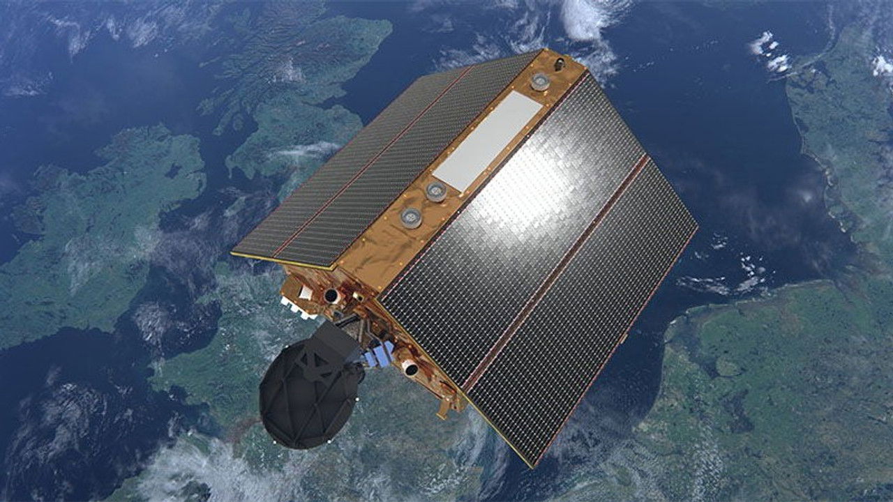
The Copernicus program uses its satellite constellation to collect ultra-precise data on climate change. ESA’s Copernicus program represents an investment of roughly 7 billion euros and generates petabits of data to model future climate shifts, primarily through the Sentinel-6 satellite, which has been operational since June 2021. This highly sophisticated spacecraft specifically measures sea-level rise, and its initial findings confirm a deeply concerning trend.

Comments
Be the first to comment.
Leave a comment
Your email won't be published. Comments are reviewed before they appear.