
Remote Sensing
Free on SceneLog — log in or create an account to track it.
Overview
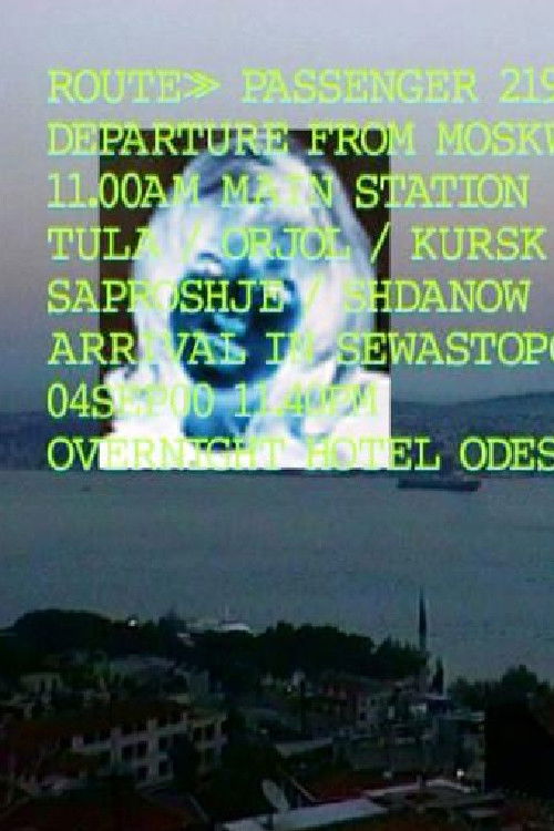
Remote Sensing is a two-year project resulting in a split-screen digital video tracing the topographies of the global sex trade in relation to satellite media and other geographic information technologies that visualise globality. The video unravels the multi-layered meaning of a geography in which the mobility and migration of women is linked to illicit economies and the implementation of new technologies.
Comments
Be the first to comment.
Leave a comment
Your email won't be published. Comments are reviewed before they appear.