
Port Lands
Free on SceneLog — log in or create an account to track it.
Overview
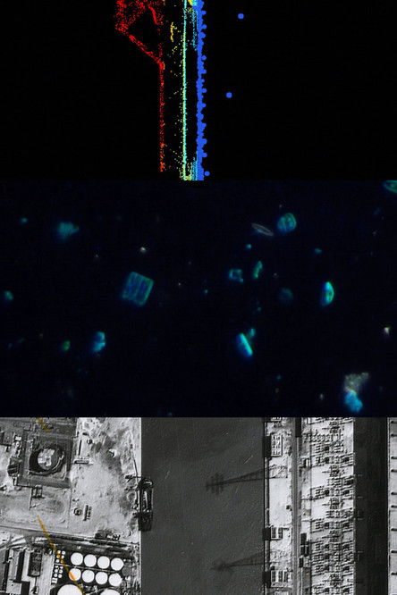
"Port Lands" presents Toronto's industrial waterfront as a complex landscape in which past, present and future geographies transition and converge. Using archival aerial photographs, microscopic videography and data mapping, this work documents how aquatic life has persisted despite intense industrialization. Earlier phases of development transformed the Port Lands into a human-built space for economic activity without regard for negative impacts on the existing environment. Evidence of this disregard persists in new so-called "revitalization" plans in which the water, land and inhabitants are conceived not as a living ecosystem but as data points to be optimized in a high-tech urban landscape.
Comments
Be the first to comment.
Leave a comment
Your email won't be published. Comments are reviewed before they appear.