
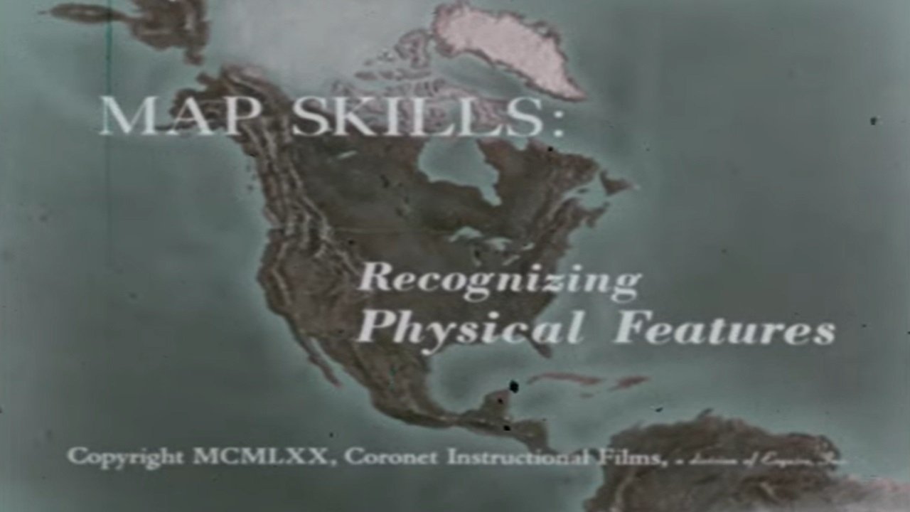
Map Skills: Recognizing Physical Features
Free on SceneLog — log in or create an account to track it.
Overview
Physical features such as gulf, peninsula, island, etc, are defined and basic principles of using colors to show elevation are illustrated with models.
Comments
Be the first to comment.
Leave a comment
Your email won't be published. Comments are reviewed before they appear.